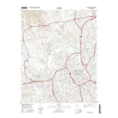
2016 Map of Nashville West
USGS Topo · Published 2016About this map
Nashville occupies the center of this map, established at the intersection of a complex river network and historic pikes that radiate from Capitol Hill. The Cumberland River carves deep loops around Cockrill Bend and Hardins Bend, while a concentration of academic institutions—including Vanderbilt Univ, Fisk Univ, and Meharry Medical Coll—defines the urban core. The map reflects a landscape where major transportation corridors like Clarksville Pike and Dickerson Rd bridge older neighborhoods such as Bordeaux and West Nashville with emerging residential areas.
Find a feature on this map
70 named features on this map. Tap any name to fly to it.
Don’t see what you’re looking for? This feature index may not catch every label — zoom into the map to look around manually.
Map Details
Editions of this 2016 Nashville West Map
This is the sole edition of this map. No revisions or reprints were ever made.
Other maps of this area

1903 · Nashville
USGS Topo · 1:125,000

1931 · Ridgetop
USGS Topo · 1:62,500

1932 · Hermitage
USGS Topo · 1:62,500

1932 · Nashville
USGS Topo · 1:62,500

1935 · Ridgetop
USGS Topo · 1:62,500

1942 · Gallatin
USGS Topo · 1:100,000

1942 · Lebanon
USGS Topo · 1:100,000

1952 · Goodlettsville
USGS Topo · 1:24,000

1952 · Nashville West
USGS Topo · 1:24,000

1952 · Nashville East
USGS Topo · 1:24,000