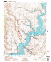
1987 Map of Nasja Mesa
USGS Topo · Published 1988About this map
Lake Powell dominates this high-desert landscape, where the rising waters of the mid-1980s have filled the ancient carved canyons of the Colorado River and the San Juan River. The survey illustrates the complex shoreline at the confluence of these two major waterways, bounded by the Navajo Indian Reservation to the south and east. Distinctive landforms such as Nasja Mesa and Wilson Mesa rise above the flooded floor, while deep tributary drainages like Reflection Canyon, Anasazi Canyon, and Hidden Passage Canyon create a labyrinthine network of inlets. The transition from the high plateau of Fiftymile Point down into the Navajo Twilight Valley highlights the extreme vertical relief of the Glen Canyon National Recreation Area during this era of peak water levels.
Find a feature on this map
19 named features on this map. Tap any name to fly to it.
Don’t see what you’re looking for? This feature index may not catch every label — zoom into the map to look around manually.
Map Details
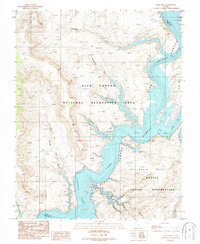
Editions of this 1987 Nasja Mesa Map
2 editions found
Other maps of this area

1886 · Escalante
USGS Topo · 1:250,000

1886 · Henry Mountains
USGS Topo · 1:250,000

1892 · Henry Mountains
USGS Topo · 1:250,000

1953 · Cummings Mesa
USGS Topo · 1:62,500

1953 · The Rincon
USGS Topo · 1:62,500

1953 · Navajo Mountain
USGS Topo · 1:62,500

1956 · Escalante
USGS Topo · 1:250,000

1960 · Escalante
USGS Topo · 1:250,000
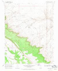
1968 · Sooner Bench
USGS Topo · 1:24,000
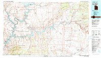
1981 · Navajo Mountain
USGS Topo · 1:100,000