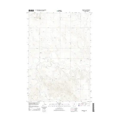
2014 Map of Nason Hill
USGS Topo · Published 2014About this map
Nason Hill dominates the northern skyline of this Adams County landscape, where the high plains begin to break toward the drainage basins of the Missouri River system. The land is defined by a grid of rural sections, crisscrossed by local roads like Watros Rd and CR-0114. Evidence of early settlement and community centers is found at the Cedar Creek Cem and Stowers Cem, which serve as quiet landmarks among the expansive agricultural tracts. The hydrology of the area is shaped by several seasonal and permanent watercourses, including Cedar Cr, Plum Cr, and Timber Cr, which carve gentle coulees and draws through the terrain. This survey reflects the enduring section-line road network and the sparsely populated nature of the North Dakota borderlands.
Find a feature on this map
25 named features on this map. Tap any name to fly to it.
Don’t see what you’re looking for? This feature index may not catch every label — zoom into the map to look around manually.
Map Details
Editions of this 2014 Nason Hill Map
This is the sole edition of this map. No revisions or reprints were ever made.
Other maps of this area

1953 · McIntosh
USGS Topo · 1:250,000

1953 · Dickinson
USGS Topo · 1:250,000

1954 · Lemmon
USGS Topo · 1:250,000

1954 · Bismarck
USGS Topo · 1:250,000

1957 · Dickinson
USGS Topo · 1:250,000

1957 · Lemmon
USGS Topo · 1:250,000

1958 · Bismarck
USGS Topo · 1:250,000

1958 · McIntosh
USGS Topo · 1:250,000

1972 · Coffin Buttes
USGS Topo · 1:24,000

1972 · Round Top
USGS Topo · 1:24,000