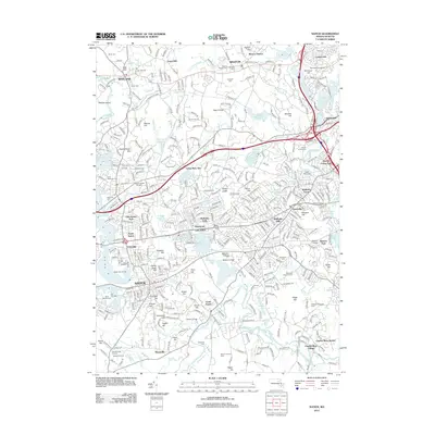
2012 Map of Natick
USGS Topo · Published 2012About this map
Natick and Weston serve as the primary anchors for this 2012 survey of eastern Massachusetts, a region defined by its historic academic institutions and varied water features. The landscape is dominated by the winding course of the Charles River and a series of prominent reservoirs including Weston Reservoir and Norumbega Reservoir. Higher education is a major land-use component, with the sprawling campuses of Regis College, Brandeis University, and Wellesley College clearly delineated.
Find a feature on this map
103 named features on this map. Tap any name to fly to it.
Don’t see what you’re looking for? This feature index may not catch every label — zoom into the map to look around manually.
Map Details
Editions of this 2012 Natick Map
This is the sole edition of this map. No revisions or reprints were ever made.
Other maps of this area

1886 · Dedham
USGS Topo · 1:62,500

1886 · Framingham
USGS Topo · 1:62,500

1887 · Franklin
USGS Topo · 1:62,500

1889 · Franklin
USGS Topo · 1:62,500

1889 · Framingham
USGS Topo · 1:62,500

1893 · Franklin
USGS Topo · 1:62,500

1893 · Boston
USGS Topo · 1:62,500

1894 · Dedham
USGS Topo · 1:62,500

1894 · Framingham
USGS Topo · 1:62,500

1903 · Boston
USGS Topo · 1:62,500