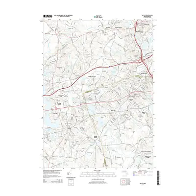
2015 Map of Natick
USGS Topo · Published 2015About this map
Natick and Wellesley anchor this detailed landscape at the border of Middlesex and Norfolk Counties, where a high concentration of educational institutions and water bodies defines the suburban geography. Renowned campuses including Wellesley Coll, Babson Coll, and Brandeis Univ are situated among a network of glacial ponds and reservoirs like Lake Waban and the Weston Reservoir. The area’s spiritual and communal history is preserved in numerous burial grounds, such as Saint Patricks Cem and the Plain Burying Ground.
Find a feature on this map
124 named features on this map. Tap any name to fly to it.
Don’t see what you’re looking for? This feature index may not catch every label — zoom into the map to look around manually.
Map Details
Editions of this 2015 Natick Map
This is the sole edition of this map. No revisions or reprints were ever made.
Other maps of this area

1886 · Dedham
USGS Topo · 1:62,500

1886 · Framingham
USGS Topo · 1:62,500

1887 · Franklin
USGS Topo · 1:62,500

1889 · Franklin
USGS Topo · 1:62,500

1889 · Framingham
USGS Topo · 1:62,500

1893 · Franklin
USGS Topo · 1:62,500

1893 · Boston
USGS Topo · 1:62,500

1894 · Dedham
USGS Topo · 1:62,500

1894 · Framingham
USGS Topo · 1:62,500

1903 · Boston
USGS Topo · 1:62,500