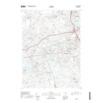
2018 Map of Natick
USGS Topo · Published 2018About this map
Wellesley and its surrounding academic landscape are the focal point of this modern topographic study, where several major institutions define the suburban character of the Middlesex and Norfolk county line. The campus grounds of Wellesley College, Babson College, and Regis College occupy significant footprints, while the presence of the Blessed John XXIII National Seminary and Brandeis Univ further north reflects the area's long-standing role as an educational hub.
Find a feature on this map
106 named features on this map. Tap any name to fly to it.
Don’t see what you’re looking for? This feature index may not catch every label — zoom into the map to look around manually.
Map Details
Editions of this 2018 Natick Map
This is the sole edition of this map. No revisions or reprints were ever made.
Other maps of this area

1886 · Dedham
USGS Topo · 1:62,500

1886 · Framingham
USGS Topo · 1:62,500

1887 · Franklin
USGS Topo · 1:62,500

1889 · Franklin
USGS Topo · 1:62,500

1889 · Framingham
USGS Topo · 1:62,500

1893 · Franklin
USGS Topo · 1:62,500

1893 · Boston
USGS Topo · 1:62,500

1894 · Dedham
USGS Topo · 1:62,500

1894 · Framingham
USGS Topo · 1:62,500

1903 · Boston
USGS Topo · 1:62,500