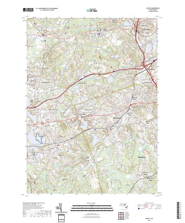
2024 Map of Natick
USGS Topo · Published 2024About this map
Wellesley and Natick form the core of this landscape, where the Charles River winds through a dense network of prestigious educational institutions and suburban settlements. The concentration of higher education is prominent, featuring Wellesley College, Brandeis University, Babson College, and the Regis College campus. The northern reaches are characterized by the Great Meadows National Wildlife Refuge and the Sudbury Assabet and Concord Wild and Scenic River corridor near Wayland, providing a significant natural buffer to the surrounding residential growth in Weston and Waltham.
Find a feature on this map
114 named features on this map. Tap any name to fly to it.
Don’t see what you’re looking for? This feature index may not catch every label — zoom into the map to look around manually.
Map Details
Editions of this 2024 Natick Map
This is the sole edition of this map. No revisions or reprints were ever made.
Other maps of this area

1886 · Dedham
USGS Topo · 1:62,500

1886 · Framingham
USGS Topo · 1:62,500

1887 · Franklin
USGS Topo · 1:62,500

1889 · Franklin
USGS Topo · 1:62,500

1889 · Framingham
USGS Topo · 1:62,500

1893 · Franklin
USGS Topo · 1:62,500

1893 · Boston
USGS Topo · 1:62,500

1894 · Dedham
USGS Topo · 1:62,500

1894 · Framingham
USGS Topo · 1:62,500

1903 · Boston
USGS Topo · 1:62,500