
1952 Map of Natural Bridges
USGS Topo · Published 1954About this map
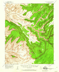
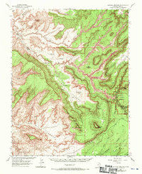
Natural Bridges National Monument anchors this 1952 topographic study, revealing the complex drainage systems of White Canyon, Fry Canyon, and Red Canyon in San Juan County. The survey identifies the three primary geological spans of the monument: Sipapu Bridge, Kachina Bridge, and Owachomo Bridge, alongside archaeological markers like Petroglyphs, Ruin Rock, and Water Jar Cave.
Find a feature on this map
46 named features on this map. Tap any name to fly to it.
Don’t see what you’re looking for? This feature index may not catch every label — zoom into the map to look around manually.
Map Details
Editions of this 1952 Natural Bridges Map
3 editions found
Other maps of this area

1886 · Henry Mountains
USGS Topo · 1:250,000

1886 · Abajo
USGS Topo · 1:250,000

1892 · Abajo
USGS Topo · 1:250,000

1892 · Henry Mountains
USGS Topo · 1:250,000

1893 · Abajo
USGS Topo · 1:250,000

1935 · Elk Ridge
USGS Topo · 1:96,000

1940 · Elk Ridge
USGS Topo · 1:125,000

1952 · Mouth of Dark Canyon
USGS Topo · 1:62,500

1952 · Mancos Mesa
USGS Topo · 1:62,500

1952 · Hite
USGS Topo · 1:62,500