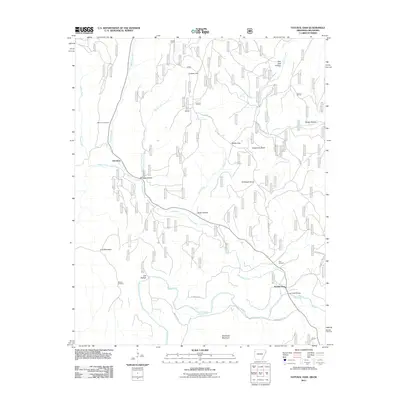
2011 Map of Natural Dam
USGS Topo · Published 2011About this map
Mountain Fork and Lee Creek dominate this landscape near the Arkansas-Oklahoma border, carving through a series of hollows and ridges. The small settlement of Davidson and the elevated community of Liberty Hill serve as the primary human anchors in a region defined by its hydrography and topography. Local history is preserved in several family and community burial grounds, including Bateman Cemetery, Morton Cemetery, and Hall Cemetery, which are scattered among the ridges.
Find a feature on this map
30 named features on this map. Tap any name to fly to it.
Don’t see what you’re looking for? This feature index may not catch every label — zoom into the map to look around manually.
Map Details
Editions of this 2011 Natural Dam Map
This is the sole edition of this map. No revisions or reprints were ever made.
Other maps of this area

1898 · Winslow #3
USGS Topo · 1:62,500

1898 · Tahlequah
USGS Topo · 1:125,000

1898 · Winslow
USGS Topo · 1:125,000

1901 · Winslow
USGS Topo · 1:125,000

1901 · Tahlequah
USGS Topo · 1:125,000

1905 · Tahlequah
USGS Topo · 1:125,000

1946 · Fort Smith
USGS Topo · 1:250,000

1965 · Fort Smith
USGS Topo · 1:250,000

1967 · Fort Smith
USGS Topo · 1:250,000
1969 · Uniontown
USGS Topo · 1:24,000