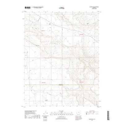
2019 Map of Naturita NW
USGS Topo · Published 2019About this map
Paradox Valley and the surrounding high country define this portion of the Colorado Plateau as it appeared during the late 2010s. The landscape is marked by significant elevation changes, ranging from the depths of Dry Creek Canyon to the heights of Monogram Mesa and the sharp profile of Sawtooth Ridge. This survey documents a transition in topography across the Montrose and San Miguel county line.
Find a feature on this map
30 named features on this map. Tap any name to fly to it.
Don’t see what you’re looking for? This feature index may not catch every label — zoom into the map to look around manually.
Map Details
Editions of this 2019 Naturita NW Map
This is the sole edition of this map. No revisions or reprints were ever made.
Other maps of this area

1916 · Paradox Valley
USGS Topo · 1:125,000

1922 · Paradox Valley
USGS Topo · 1:125,000

1948 · Bull Canyon
USGS Topo · 1:24,000

1948 · Uravan
USGS Topo · 1:24,000

1948 · Hamm Canyon
USGS Topo · 1:24,000

1948 · Naturita NW
USGS Topo · 1:24,000

1948 · Gypsum Gap
USGS Topo · 1:24,000

1949 · Bull Canyon
USGS Topo · 1:24,000

1949 · Davis Mesa
USGS Topo · 1:24,000

1949 · Gypsum Gap
USGS Topo · 1:24,000