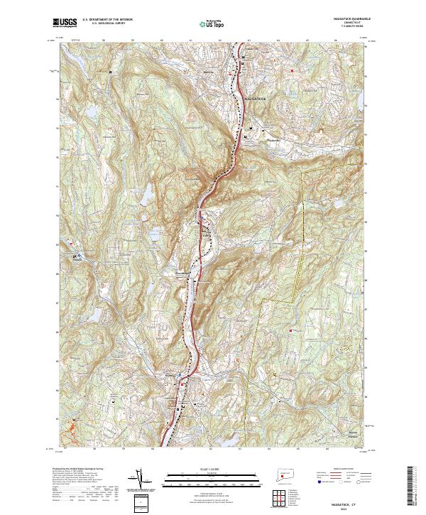
2024 Map of Naugatuck
USGS Topo · Published 2024About this map
The Naugatuck River valley serves as the central corridor for this modern-era documentation, where industrial and residential growth follows the winding river path through the hills. This landscape is defined by its numerous water management features, including a sophisticated series of reservoirs such as Seymour Reservoir Number Four and the Bladens River Reservoir, which support the surrounding communities of Naugatuck, Beacon Falls, and Seymour. The topography is characterized by a series of prominent peaks and ridges, including Tobys Rock Mtn and Andrews Hill, which overlook the urban centers and industrial zones along the valley floor.
Find a feature on this map
93 named features on this map. Tap any name to fly to it.
Don’t see what you’re looking for? This feature index may not catch every label — zoom into the map to look around manually.
Map Details
Editions of this 2024 Naugatuck Map
This is the sole edition of this map. No revisions or reprints were ever made.
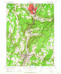
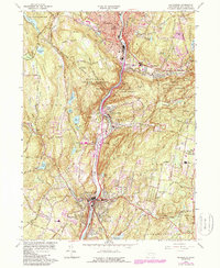
Historical Maps of Bethany Through Time
4 maps found