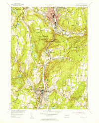
1954 Map of Naugatuck
USGS Topo · Published 1956About this map
The Naugatuck River corridor serves as the industrial and transportation spine of this 1950s valley landscape, where the New York New Haven and Hartford railroad parallels the water through the heart of Union City and Beacon Falls. High above the river, the Naugatuck State Forest blankets the ridges of Hunters Mountain and Tobys Rock Mountain, illustrating the sharp contrast between the manufacturing centers and the preserved woodlands of New Haven County. For genealogists, the map is particularly rich in civic detail, locating numerous neighborhood institutions such as Tuttle Sch, Western Sch, and Central Ave Sch, alongside local landmarks like the Pine Bridge Cem and St James Cem. The western portion transitions into the agricultural and residential outskirts of Oxford and Middlebury, marked by significant water bodies like Long Meadow Pond and Towantic Pond.
Find a feature on this map
86 named features on this map. Tap any name to fly to it.
Don’t see what you’re looking for? This feature index may not catch every label — zoom into the map to look around manually.
Map Details
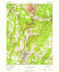
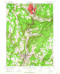
Editions of this 1954 Naugatuck Map
3 editions found
Other maps of this area

1889 · Derby
USGS Topo · 1:62,500

1891 · Derby
USGS Topo · 1:62,500

1892 · New Haven
USGS Topo · 1:62,500

1892 · Meriden
USGS Topo · 1:62,500

1893 · Waterbury
USGS Topo · 1:62,500

1893 · Meriden
USGS Topo · 1:62,500

1893 · Derby
USGS Topo · 1:62,500

1904 · Waterbury
USGS Topo · 1:62,500

1904 · Litchfield
USGS Topo · 1:125,000

1906 · Farmington
USGS Topo · 1:125,000