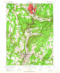
1954 Map of Naugatuck
USGS Topo · Published 1964About this map
Industrial and residential development follows the deep valley of the Naugatuck River in this mid-century survey. The urban core of Naugatuck is concentrated around Union City and the New York New Haven and Hartford railroad line, while the surrounding hills remain heavily forested. Significant portions of the landscape are dedicated to the Naugatuck State Forest, preserving rugged terrain like Tobys Rock Mountain and Beacon Hill. Local history is visible in the distribution of rural landmarks, from the Gunntown Cem in the northwest to Paynes Corners in the southeast. A network of smaller settlements including Millville, Straitsville, and Beacon Falls are linked by winding roads such as Chestnut Tree Hill Rd and Skokorat Road. Water management is a primary feature of the topography, evidenced by numerous reservoirs like Mulberry Res and Candee Reservoir.
Find a feature on this map
93 named features on this map. Tap any name to fly to it.
Don’t see what you’re looking for? This feature index may not catch every label — zoom into the map to look around manually.
Map Details
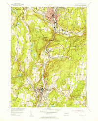
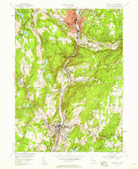
Editions of this 1954 Naugatuck Map
3 editions found
Other maps of this area

1889 · Derby
USGS Topo · 1:62,500

1891 · Derby
USGS Topo · 1:62,500

1892 · New Haven
USGS Topo · 1:62,500

1892 · Meriden
USGS Topo · 1:62,500

1893 · Waterbury
USGS Topo · 1:62,500

1893 · Meriden
USGS Topo · 1:62,500

1893 · Derby
USGS Topo · 1:62,500

1904 · Waterbury
USGS Topo · 1:62,500

1904 · Litchfield
USGS Topo · 1:125,000

1906 · Farmington
USGS Topo · 1:125,000