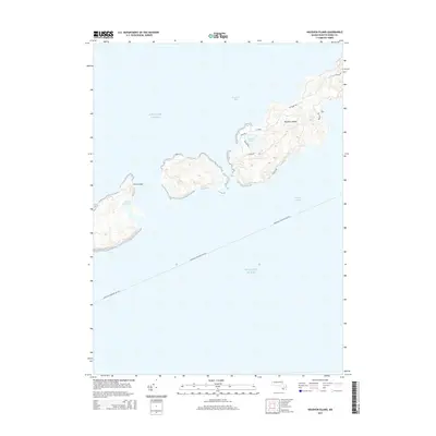
2015 Map of Naushon Island
USGS Topo · Published 2015About this map
Naushon Island dominates this coastal survey, situated between the waters of Buzzards Bay and Vineyard Sound. The landscape is defined by its isolation and maritime geography, with interior water bodies like Quicks Hole Pond, Westend Pond, and Blaney Pond punctuating the island's terrain. A network of local island roads, including Main Rd, Bayberry Rd, and S Bluff Rd, provides a trace of the internal circulation and land use patterns of this private Elizabeth Island during the early twenty-first century.
Find a feature on this map
15 named features on this map. Tap any name to fly to it.
Don’t see what you’re looking for? This feature index may not catch every label — zoom into the map to look around manually.
Map Details
Editions of this 2015 Naushon Island Map
This is the sole edition of this map. No revisions or reprints were ever made.
Other maps of this area

1885 · New Bedford
USGS Topo · 1:62,500

1886 · Falmouth
USGS Topo · 1:62,500

1887 · Gay Head
USGS Topo · 1:62,500

1888 · New Bedford
USGS Topo · 1:62,500

1888 · Falmouth
USGS Topo · 1:62,500

1889 · Gay Head
USGS Topo · 1:62,500

1893 · Gay Head
USGS Topo · 1:62,500

1893 · Falmouth
USGS Topo · 1:62,500

1893 · New Bedford
USGS Topo · 1:62,500

1915 · Falmouth
USGS Topo · 1:62,500