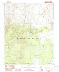
1987 Map of Navajo Begay
USGS Topo · Published 1987About this map
Navajo Indian Reservation land dominates this high-altitude landscape along the border of Utah and Arizona, centered on the dramatic rise of Navajo Mountain. The area is characterized by deep drainage systems that cut through the plateau, including Bald Rock Canyon, Cha Canyon, and Desha Canyon, which channel water toward the north. A few established outposts like Navajo Begay and Rainbow City are marked amidst the network of primitive trails and improved roads that navigate the complex topography. Near the base of the mountain, War God Spring serves as a critical water source in this arid environment. The map records the intersection of San Juan and Coconino counties, providing a detailed view of the remote habitation patterns and geographic landmarks within the reservation during the late twentieth century.
Find a feature on this map
14 named features on this map. Tap any name to fly to it.
Don’t see what you’re looking for? This feature index may not catch every label — zoom into the map to look around manually.
Map Details
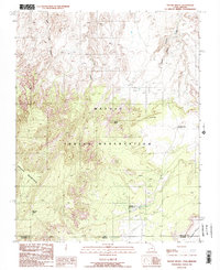
Editions of this 1987 Navajo Begay Map
2 editions found
Other maps of this area

1883 · Marsh Pass
USGS Topo · 1:250,000

1886 · Henry Mountains
USGS Topo · 1:250,000

1892 · Marsh Pass
USGS Topo · 1:250,000

1892 · Henry Mountains
USGS Topo · 1:250,000

1953 · Navajo Mountain 4 NW
USGS Topo · 1:24,000

1953 · Navajo Mountain 4 SW
USGS Topo · 1:24,000

1953 · Navajo Mountain
USGS Topo · 1:62,500

1953 · No Mans Mesa
USGS Topo · 1:62,500

1956 · Escalante
USGS Topo · 1:250,000

1956 · Marble Canyon
USGS Topo · 1:250,000