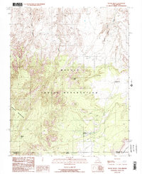
1987 Map of Navajo Begay
USGS Topo · Published 1987About this map
Navajo Mountain dominates the southwestern portion of this landscape, its steep slopes giving way to a network of deeply incised drainages within the Navajo Indian Reservation. This high-altitude desert terrain is defined by the convergence of the Utah-Arizona state line and the border between San Juan and Coconino counties. The map records several localized settlements, including Navajo Begay and Rainbow City, which appear alongside infrastructure such as a remote Landing Strip.
Find a feature on this map
14 named features on this map. Tap any name to fly to it.
Don’t see what you’re looking for? This feature index may not catch every label — zoom into the map to look around manually.
Map Details
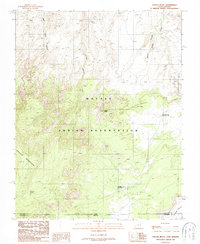
Editions of this 1987 Navajo Begay Map
2 editions found
Other maps of this area

1883 · Marsh Pass
USGS Topo · 1:250,000

1886 · Henry Mountains
USGS Topo · 1:250,000

1892 · Marsh Pass
USGS Topo · 1:250,000

1892 · Henry Mountains
USGS Topo · 1:250,000

1953 · Navajo Mountain 4 NW
USGS Topo · 1:24,000

1953 · Navajo Mountain 4 SW
USGS Topo · 1:24,000

1953 · Navajo Mountain
USGS Topo · 1:62,500

1953 · No Mans Mesa
USGS Topo · 1:62,500

1956 · Escalante
USGS Topo · 1:250,000

1956 · Marble Canyon
USGS Topo · 1:250,000