
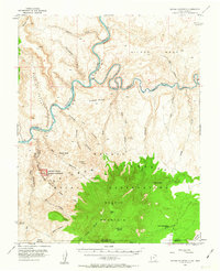
1953 Map of Navajo Mountain
USGS Topo · Published 1956About this map
Navajo Mountain dominates the southern landscape of this 1953 survey, rising sharply from the Navajo Indian Reservation near the border of Utah and Arizona. The map captures a complex system of drainages, including Llewellyn Gulch and Cottonwood Gulch, which feed into the winding Colorado River and San Juan River before the formation of Lake Powell. Cultural life is anchored by the Navajo Mountain Sch and small clusters such as Navajo Begay and Nuwah. To the west, Rainbow Bridge National Monument protects the namesake Rainbow Bridge tucked within Bridge Canyon. High points like Grey Mesa and Wilson Mesa overlook the deep incisions of Canyon Glen, while War God Spring provides a named water source on the mountain's higher slopes.
Find a feature on this map
37 named features on this map. Tap any name to fly to it.
Don’t see what you’re looking for? This feature index may not catch every label — zoom into the map to look around manually.
Map Details
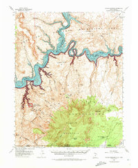
Editions of this 1953 Navajo Mountain Map
3 editions found
Other maps of this area

1883 · Marsh Pass
USGS Topo · 1:250,000

1886 · Escalante
USGS Topo · 1:250,000

1886 · Henry Mountains
USGS Topo · 1:250,000

1886 · Echo Cliffs
USGS Topo · 1:250,000

1891 · Echo Cliffs
USGS Topo · 1:250,000

1892 · Marsh Pass
USGS Topo · 1:250,000

1892 · Henry Mountains
USGS Topo · 1:250,000

1953 · Navajo Mountain 4 NW
USGS Topo · 1:24,000

1953 · Navajo Mountain 4 SW
USGS Topo · 1:24,000

1953 · Cummings Mesa
USGS Topo · 1:62,500