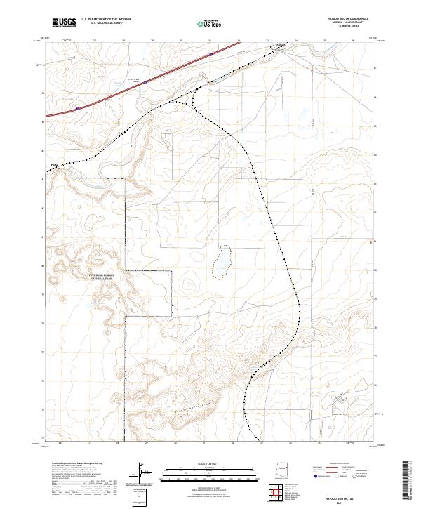
2021 Map of Navajo South
USGS Topo · Published 2021About this map
The Puerco River cuts through this high desert landscape of eastern Arizona, where the northeastern boundary of the Petrified Forest National Park meets the open range. The settlement of Navajo serves as a local hub near the Navajo Cem, while the small community of Pinta sits further west along the riverbanks. The influence of the interstate and rail corridor is evident, marked by the Crazy Creek Bridge crossing over Crazy Cr.
Find a feature on this map
24 named features on this map. Tap any name to fly to it.
Don’t see what you’re looking for? This feature index may not catch every label — zoom into the map to look around manually.
Map Details
Editions of this 2021 Navajo South Map
This is the sole edition of this map. No revisions or reprints were ever made.
Other maps of this area

1886 · St Johns
USGS Topo · 1:250,000

1886 · Fort Defiance
USGS Topo · 1:250,000

1892 · Fort Defiance
USGS Topo · 1:250,000

1892 · St Johns
USGS Topo · 1:250,000

1954 · Saint Johns
USGS Topo · 1:250,000

1954 · Gallup
USGS Topo · 1:250,000

1956 · Adamana 1 NW
USGS Topo · 1:24,000

1957 · Saint Johns
USGS Topo · 1:250,000

1958 · Gallup
USGS Topo · 1:250,000

1958 · Saint Johns
USGS Topo · 1:250,000