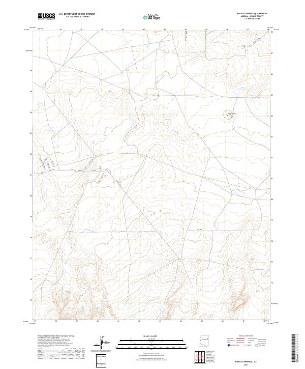
2021 Map of Navajo Springs
USGS Topo · Published 2021About this map
Navajo Springs serves as a focal point in this high-desert region of Apache County, where water sources like Salt Seeps and several livestock tanks define the arid landscape. The area is characterized by a mix of traditional routes and modern infrastructure, including the legendary Hwy 66 corridor and local paths such as Dineh Bii Tril. Distinctive geologic features like The Crater stand out among the open range, while a network of rural roads including Wagon Wheel Dr and Rodeo Dr provides access to the surrounding plains. The drainage patterns and reliable water points like Water Dog Tank and Jacobs Tank reflect the enduring importance of water management for ranching and local settlement in this part of the Arizona high country.
Find a feature on this map
23 named features on this map. Tap any name to fly to it.
Don’t see what you’re looking for? This feature index may not catch every label — zoom into the map to look around manually.
Map Details
Editions of this 2021 Navajo Springs Map
This is the sole edition of this map. No revisions or reprints were ever made.
Other maps of this area

1886 · St Johns
USGS Topo · 1:250,000

1886 · Fort Defiance
USGS Topo · 1:250,000

1892 · Fort Defiance
USGS Topo · 1:250,000

1892 · St Johns
USGS Topo · 1:250,000

1954 · Saint Johns
USGS Topo · 1:250,000

1954 · Gallup
USGS Topo · 1:250,000

1957 · Saint Johns
USGS Topo · 1:250,000

1958 · Gallup
USGS Topo · 1:250,000

1958 · Saint Johns
USGS Topo · 1:250,000

1959 · Gallup
USGS Topo · 1:250,000