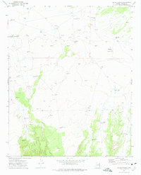
1972 Map of Navajo Springs
USGS Topo · Published 1974About this map
Navajo Springs serves as the focal point of this arid landscape, noted specifically as the Territorial Govt Formation Site Historical Mon. This designation marks a significant moment in the territorial history of Arizona, where the early government was formally organized in 1863. The surrounding terrain is defined by its water management and resource extraction, illustrated by an extensive network of Gas Wells and Flowing Wells scattered across the plateau.
Find a feature on this map
24 named features on this map. Tap any name to fly to it.
Don’t see what you’re looking for? This feature index may not catch every label — zoom into the map to look around manually.
Map Details
Editions of this 1972 Navajo Springs Map
This is the sole edition of this map. No revisions or reprints were ever made.
Other maps of this area

1886 · St Johns
USGS Topo · 1:250,000

1886 · Fort Defiance
USGS Topo · 1:250,000

1892 · Fort Defiance
USGS Topo · 1:250,000

1892 · St Johns
USGS Topo · 1:250,000

1954 · Saint Johns
USGS Topo · 1:250,000

1954 · Gallup
USGS Topo · 1:250,000

1957 · Saint Johns
USGS Topo · 1:250,000

1958 · Gallup
USGS Topo · 1:250,000

1958 · Saint Johns
USGS Topo · 1:250,000

1959 · Gallup
USGS Topo · 1:250,000