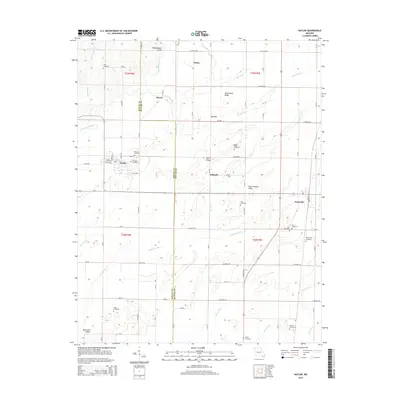
2015 Map of Naylor
USGS Topo · Published 2015About this map
Naylor and Neelyville anchor this 2015 study of the lowlands along the Ripley and Butler County line. The landscape is defined by an extensive network of drainage infrastructure, with named channels like Neeleyville Ditch, Hart Ditch, and Harviell Ditch crisscrossing the terrain to manage the flow toward the Little Black River. This engineered water system reveals the region's agricultural adaptation, reclaiming fertile ground between prominent elevations such as Harris Ridge and Sharecropper Ridge.
Find a feature on this map
124 named features on this map. Tap any name to fly to it.
Don’t see what you’re looking for? This feature index may not catch every label — zoom into the map to look around manually.
Map Details
Editions of this 2015 Naylor Map
This is the sole edition of this map. No revisions or reprints were ever made.
Other maps of this area

1935 · Acorn
USGS Topo · 1:62,500

1935 · Rector
USGS Topo · 1:62,500

1935 · Knobel
USGS Topo · 1:62,500

1935 · Harviell
USGS Topo · 1:62,500

1940 · Naylor
USGS Topo · 1:62,500

1941 · Knobel
USGS Topo · 1:62,500

1944 · Naylor
USGS Topo · 1:62,500

1957 · Poplar Bluff
USGS Topo · 1:250,000

1958 · Rector
USGS Topo · 1:62,500

1959 · Poplar Bluff
USGS Topo · 1:250,000