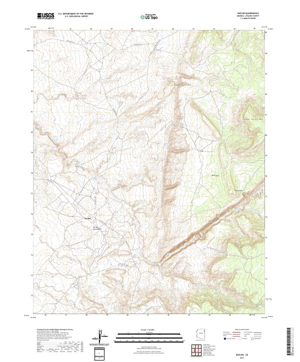
2021 Map of Nazlini
USGS Topo · Published 2021About this map
Nazlini serves as the central hub of this Apache County landscape, situated where the Tah-aith-cheed Wash meets the drainage of Nazlini Creek. The settlement's position is defined by the dramatic topography of the Colorado Plateau, with the deep incision of Nazlini Canyon cutting through the center of the sheet. High elevations are marked by distinctive landmarks such as Gray Mtn, Pillow Mtn, and the high plateau of Rock Mesa. A network of regional routes, including Indian Rte 27 and Indian Rte 8015, connects the community to the surrounding high country. Significant water sources like Tsegito Spring highlight the critical role of natural hydrology in this arid environment, while the presence of Gas Pipeline Rd and various county roads indicates the modern infrastructure overlaying the traditional Navajo Nation terrain.
Find a feature on this map
22 named features on this map. Tap any name to fly to it.
Don’t see what you’re looking for? This feature index may not catch every label — zoom into the map to look around manually.
Map Details
Editions of this 2021 Nazlini Map
This is the sole edition of this map. No revisions or reprints were ever made.
Other maps of this area

1886 · Fort Defiance
USGS Topo · 1:250,000

1892 · Fort Defiance
USGS Topo · 1:250,000

1892 · Canyon De Chelly
USGS Topo · 1:250,000

1954 · Shiprock
USGS Topo · 1:250,000

1954 · Gallup
USGS Topo · 1:250,000

1955 · Zith-Tusayan Butte 2 SE
USGS Topo · 1:24,000

1955 · Zith-Tusayan Butte 2 SW
USGS Topo · 1:24,000

1955 · Zith-Tusayan Butte 2 NW
USGS Topo · 1:24,000

1955 · Chinle 4 SE
USGS Topo · 1:24,000

1955 · Zith-Tusayan Butte 2 NE
USGS Topo · 1:24,000