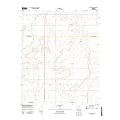
2013 Map of Neafus Ranch
USGS Topo · Published 2013About this map
Neafus Ranch and several other family holdings define the high plains of eastern New Mexico in this early 21st-century landscape. The boundary between San Miguel and Guadalupe counties cuts across the northern third of the map, dividing a terrain characterized by deep drainage systems like Cañon Bonita. This area is a network of working livestock operations connected by a rudimentary grid of local roads, including Co Road IFA and Co Road IFC.
Find a feature on this map
19 named features on this map. Tap any name to fly to it.
Don’t see what you’re looking for? This feature index may not catch every label — zoom into the map to look around manually.
Map Details
Editions of this 2013 Neafus Ranch Map
This is the sole edition of this map. No revisions or reprints were ever made.
Other maps of this area

1954 · Santa Fe
USGS Topo · 1:250,000

1958 · Santa Fe
USGS Topo · 1:250,000

1963 · Mesita Del Gato
USGS Topo · 1:24,000

1963 · Cuervo
USGS Topo · 1:24,000

1964 · Neafus Ranch
USGS Topo · 1:24,000

1964 · Gate Canyon
USGS Topo · 1:24,000

1964 · Newkirk
USGS Topo · 1:24,000

1964 · Ortega Tank
USGS Topo · 1:24,000

1967 · Tenaja Mesa
USGS Topo · 1:24,000

1972 · La Silla
USGS Topo · 1:24,000