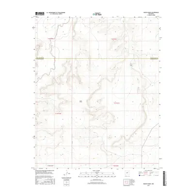
2017 Map of Neafus Ranch
USGS Topo · Published 2017About this map
Neafus Ranch sits within a landscape defined by dramatic elevation changes and a network of ephemeral watercourses near the boundary between San Miguel Co and Guadalupe Co. The terrain is characterized by the prominent Cañon Bonita, which cuts through the central portion of the quadrangle. Hydrological patterns are dominated by Cuervo Creek and its tributary, Little Cuervo Cr, while La Manga Cr enters from the northeast. The presence of Difrises Arroyo in the south underscores the arid character of this high-desert environment. Human infrastructure is limited to rural ranching operations and the unpaved corridor of Co Rd Ifa, reflecting a sparsely populated region dedicated to large-scale land use in the early twenty-first century.
Find a feature on this map
14 named features on this map. Tap any name to fly to it.
Don’t see what you’re looking for? This feature index may not catch every label — zoom into the map to look around manually.
Map Details
Editions of this 2017 Neafus Ranch Map
This is the sole edition of this map. No revisions or reprints were ever made.
Other maps of this area

1954 · Santa Fe
USGS Topo · 1:250,000

1958 · Santa Fe
USGS Topo · 1:250,000

1963 · Mesita Del Gato
USGS Topo · 1:24,000

1963 · Cuervo
USGS Topo · 1:24,000

1964 · Neafus Ranch
USGS Topo · 1:24,000

1964 · Gate Canyon
USGS Topo · 1:24,000

1964 · Newkirk
USGS Topo · 1:24,000

1964 · Ortega Tank
USGS Topo · 1:24,000

1967 · Tenaja Mesa
USGS Topo · 1:24,000

1972 · La Silla
USGS Topo · 1:24,000