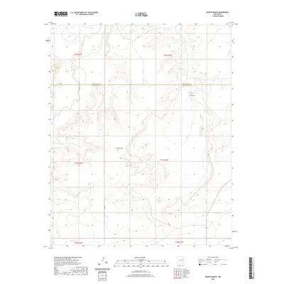
2020 Map of Neafus Ranch
USGS Topo · Published 2020About this map
Neafus Ranch sits within a landscape defined by deep drainage channels and significant relief along the border of San Miguel Co and Guadalupe Co. The drainage network is particularly complex here, featuring the headwaters and branches of Little Cuervo Cr, Cuervo Creek, and La Manga Cr. These watercourses have carved out significant features such as Cañon Bonita, which dominates the central western portion of the quadrangle. The presence of Co Rd Ifa provides the primary transit through this ranching country. The land is organized by the Public Land Survey System, with township and range lines like t11n r25e showing the grid-based settlement pattern typical of the New Mexico high plains, where water sources and topography dictated the placement of family-held ranching operations.
Find a feature on this map
14 named features on this map. Tap any name to fly to it.
Don’t see what you’re looking for? This feature index may not catch every label — zoom into the map to look around manually.
Map Details
Editions of this 2020 Neafus Ranch Map
This is the sole edition of this map. No revisions or reprints were ever made.
Other maps of this area

1954 · Santa Fe
USGS Topo · 1:250,000

1958 · Santa Fe
USGS Topo · 1:250,000

1963 · Mesita Del Gato
USGS Topo · 1:24,000

1963 · Cuervo
USGS Topo · 1:24,000

1964 · Neafus Ranch
USGS Topo · 1:24,000

1964 · Gate Canyon
USGS Topo · 1:24,000

1964 · Newkirk
USGS Topo · 1:24,000

1964 · Ortega Tank
USGS Topo · 1:24,000

1967 · Tenaja Mesa
USGS Topo · 1:24,000

1972 · La Silla
USGS Topo · 1:24,000