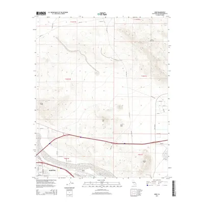
2015 Map of Nebo
USGS Topo · Published 2015About this map
Barstow serves as the focal point for this 2015 study of the High Desert, where the city's outskirts meet the rugged peaks of the Mitchel Range and the Calico Mountains. The map illustrates the convergence of major desert transit routes, including the National Trails Hwy and Yermo Rd, which trace the path of earlier pioneers and rail corridors. South of the main settlement lies Nebo, a significant point of interest near the broad, sandy wash of the Mojave River valley. To the east and north, the landscape is defined by distinctive volcanic and mineral-rich formations such as Lead Mtn and Elephant Mtn. This area's history is deeply connected to mining and transportation, evidenced by the presence of Ghost Town Rd and Calico Blvd, which lead toward the historic silver mining districts of the region.
Find a feature on this map
41 named features on this map. Tap any name to fly to it.
Don’t see what you’re looking for? This feature index may not catch every label — zoom into the map to look around manually.
Map Details
Editions of this 2015 Nebo Map
This is the sole edition of this map. No revisions or reprints were ever made.
Other maps of this area

1915 · Searles Lake
USGS Topo · 1:250,000

1932 · Barstow
USGS Topo · 1:125,000

1933 · Avawatz Mountains
USGS Topo · 1:250,000

1934 · Barstow
USGS Topo · 1:125,000

1947 · Trona
USGS Topo · 1:250,000

1948 · Trona
USGS Topo · 1:250,000

1948 · Lane Mountain
USGS Topo · 1:62,500

1951 · Lane Mountain
USGS Topo · 1:62,500

1953 · San Bernardino
USGS Topo · 1:250,000

1953 · Yermo
USGS Topo · 1:24,000