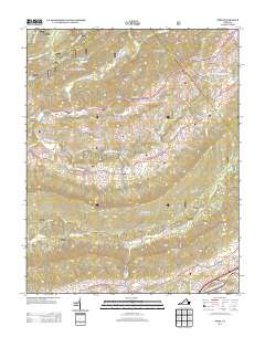
2013 Map of Nebo
USGS Topo · Published 2013About this map
Nebo sits at the heart of this landscape, where the N Fork Holston River meanders through the valley below Brushy Mountain. The area is defined by a dense network of mountain hollows and ridges, such as Huff Hollow and Jones Hollow, which historically shaped the placement of local homesteads and travel routes. Evidence of rural commerce and industry is preserved through labels like Groseclose Store and Tilson Mill, suggesting the locations of former community gathering points and early agricultural processing along the waterways.
Find a feature on this map
73 named features on this map. Tap any name to fly to it.
Don’t see what you’re looking for? This feature index may not catch every label — zoom into the map to look around manually.
Map Details
Editions of this 2013 Nebo Map
This is the sole edition of this map. No revisions or reprints were ever made.
Other maps of this area

1887 · Pocahontas
USGS Topo · 1:125,000

1889 · Wytheville
USGS Topo · 1:125,000

1891 · Tazewell
USGS Topo · 1:125,000

1891 · Pocahontas
USGS Topo · 1:125,000

1891 · Abingdon
USGS Topo · 1:125,000

1892 · Wytheville
USGS Topo · 1:125,000

1894 · Pocahontas
USGS Topo · 1:125,000

1894 · Abingdon
USGS Topo · 1:125,000

1895 · Tazewell
USGS Topo · 1:125,000

1895 · Pocahontas
USGS Topo · 1:125,000