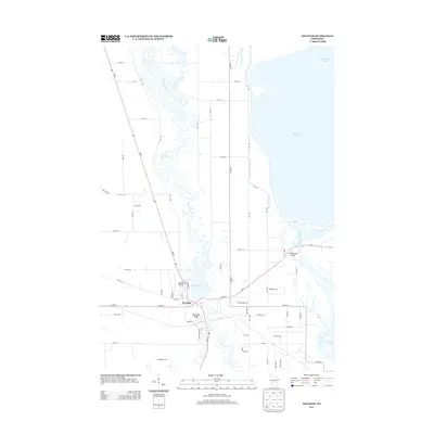
2013 Map of Necedah
USGS Topo · Published 2013About this map
The Yellow River meanders in a complex, braided pattern south toward the village of Necedah, where it meets the waters of Necedah Lake. This central Wisconsin landscape is defined by its dramatic water features and sudden vertical relief, including the prominent Necedah Bluff near the town center and Petenwell Rock further east along the banks of the Wisconsin River. To the northeast, the massive expanse of Petenwell Lake dominates the horizon, while Castle Rock Lake begins to take shape in the southeast corner.
Find a feature on this map
64 named features on this map. Tap any name to fly to it.
Don’t see what you’re looking for? This feature index may not catch every label — zoom into the map to look around manually.
Map Details
Editions of this 2013 Necedah Map
This is the sole edition of this map. No revisions or reprints were ever made.
Other maps of this area

1921 · Mauston
USGS Topo · 1:62,500

1953 · Eau Claire
USGS Topo · 1:250,000

1955 · Green Bay
USGS Topo · 1:250,000

1957 · Madison
USGS Topo · 1:250,000

1958 · Eau Claire
USGS Topo · 1:250,000

1958 · Arkdale
USGS Topo · 1:48,000

1958 · Necedah
USGS Topo · 1:48,000

1958 · La Crosse
USGS Topo · 1:250,000

1960 · Madison
USGS Topo · 1:250,000

1961 · La Crosse
USGS Topo · 1:250,000