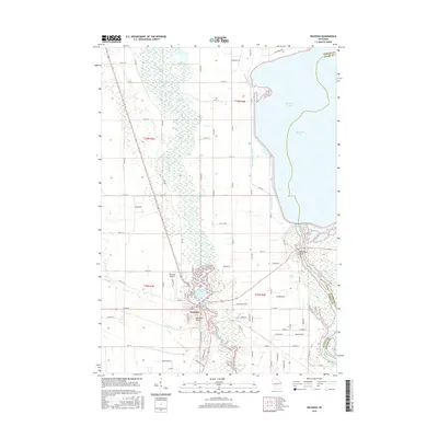
2015 Map of Necedah
USGS Topo · Published 2015About this map
The Yellow River and Necedah Flowage dominate this central Wisconsin landscape, where the waters converge near the village of Necedah. The map documents a complex aquatic environment shaped by both natural river courses and extensive water management systems, including the West Petenwell Ditch and the expansive Petenwell Lake along the eastern boundary. The presence of Petenwell Rock and Necedah Bluff provides significant topographic relief against the surrounding wetlands and river bottoms. Local history and community life are grounded in landmarks such as the Bay View Cem and the Necedah Airport, while the intricate network of township roads and drainage systems reveals the long-standing efforts to navigate and manage the marshy terrain between the Yellow River and the Wisconsin River.
Find a feature on this map
56 named features on this map. Tap any name to fly to it.
Don’t see what you’re looking for? This feature index may not catch every label — zoom into the map to look around manually.
Map Details
Editions of this 2015 Necedah Map
This is the sole edition of this map. No revisions or reprints were ever made.
Other maps of this area

1921 · Mauston
USGS Topo · 1:62,500

1953 · Eau Claire
USGS Topo · 1:250,000

1955 · Green Bay
USGS Topo · 1:250,000

1957 · Madison
USGS Topo · 1:250,000

1958 · Eau Claire
USGS Topo · 1:250,000

1958 · Arkdale
USGS Topo · 1:48,000

1958 · Necedah
USGS Topo · 1:48,000

1958 · La Crosse
USGS Topo · 1:250,000

1960 · Madison
USGS Topo · 1:250,000

1961 · La Crosse
USGS Topo · 1:250,000