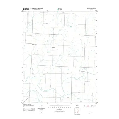
2011 Map of Neck City
USGS Topo · Published 2011About this map
Neck City and the surrounding agricultural plains of Barton and Jasper Counties are defined by a network of rural settlements and meandering waterways. The landscape transitions from the higher grounds near Nashville in the northwest toward the riparian corridor of the North Fork Spring River and Spring River in the south. This era shows a community structured around section-line roads like Barton Co Blvd and Redbud Rd, connecting smaller hubs such as Tuckers Corner and Cossville.
Find a feature on this map
36 named features on this map. Tap any name to fly to it.
Don’t see what you’re looking for? This feature index may not catch every label — zoom into the map to look around manually.
Map Details
Editions of this 2011 Neck City Map
This is the sole edition of this map. No revisions or reprints were ever made.
Other maps of this area

1886 · Joplin
USGS Topo · 1:125,000

1886 · Carthage
USGS Topo · 1:125,000

1894 · Joplin
USGS Topo · 1:125,000

1894 · Carthage
USGS Topo · 1:125,000

1945 · Pittsburg
USGS Topo · 1:62,500

1947 · Joplin
USGS Topo · 1:250,000

1947 · Pittsburg
USGS Topo · 1:62,500

1949 · Joplin
USGS Topo · 1:250,000

1950 · Pittsburg
USGS Topo · 1:62,500

1954 · Joplin
USGS Topo · 1:250,000