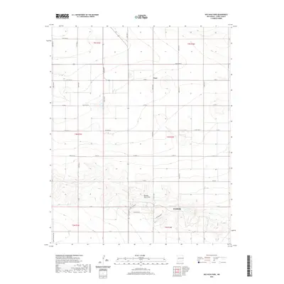
2020 Map of Ned Houk Park
USGS Topo · Published 2020About this map
The high plains of Curry County are dominated here by the northern outskirts of Clovis and the expansive recreational grounds of Ned Houk Park. This modern survey reveals a landscape characterized by the transition from urban development to a rigid grid of agricultural roads. The terrain is largely defined by the course of Running Water Draw, which carves a distinct path through the southern half of the quadrangle. North of the city, the small community of Claud sits at the junction of several county roads, serving as a landmark in the flat expanse. The map provides a detailed view of the local transportation network, from city streets like N Prince St to the numbered Curry Roads that segment the township and range lines. The presence of Ned Houk Park 3 and Ned Houk Park 4 indicates the significant dedication of land to public parkspace at the city's edge.
Find a feature on this map
39 named features on this map. Tap any name to fly to it.
Don’t see what you’re looking for? This feature index may not catch every label — zoom into the map to look around manually.
Map Details
Editions of this 2020 Ned Houk Park Map
This is the sole edition of this map. No revisions or reprints were ever made.
Other maps of this area

1954 · Clovis
USGS Topo · 1:250,000

1957 · Portair
USGS Topo · 1:62,500

1957 · Clovis
USGS Topo · 1:62,500

1957 · Pleasant Hill
USGS Topo · 1:62,500

1957 · Hammond Ranch
USGS Topo · 1:62,500

1958 · Clovis
USGS Topo · 1:250,000

1985 · Portair
USGS Topo · 1:24,000

1985 · Pleasant Hill NW
USGS Topo · 1:24,000

1985 · Smith Ranch
USGS Topo · 1:24,000

1985 · Pleasant Hill
USGS Topo · 1:24,000