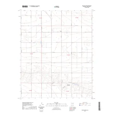
2023 Map of Ned Houk Park
USGS Topo · Published 2023About this map
Ned Houk Park occupies the southern portion of this high plains landscape, situated just north of the city limits of Clovis. The terrain is defined by the significant geographic depression of Running Water Draw, which winds through the southern townships, providing a natural break in the otherwise methodical grid of section lines and agricultural roads. The small community of Claud sits further north, marking a quiet junction amidst the expansive farm and ranch lands of Curry County.
Find a feature on this map
40 named features on this map. Tap any name to fly to it.
Don’t see what you’re looking for? This feature index may not catch every label — zoom into the map to look around manually.
Map Details
Editions of this 2023 Ned Houk Park Map
This is the sole edition of this map. No revisions or reprints were ever made.
Other maps of this area

1954 · Clovis
USGS Topo · 1:250,000

1957 · Portair
USGS Topo · 1:62,500

1957 · Clovis
USGS Topo · 1:62,500

1957 · Pleasant Hill
USGS Topo · 1:62,500

1957 · Hammond Ranch
USGS Topo · 1:62,500

1958 · Clovis
USGS Topo · 1:250,000

1985 · Portair
USGS Topo · 1:24,000

1985 · Pleasant Hill NW
USGS Topo · 1:24,000

1985 · Smith Ranch
USGS Topo · 1:24,000

1985 · Pleasant Hill
USGS Topo · 1:24,000