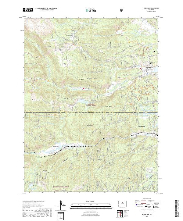
2022 Map of Nederland
USGS Topo · Published 2022About this map
Nederland and the surrounding Front Range mountain communities are mapped here in detail, illustrating a landscape defined by its mining heritage and high-altitude recreation. The map traces the industrial footprint of the Anchor Mine and Enterprise Mine, remnants of the district's silver and gold fever, while highlighting the contemporary importance of water management through the Barker Reservoir and a network of smaller catchments like Los Lagos Reservoirs Number One.
Find a feature on this map
125 named features on this map. Tap any name to fly to it.
Don’t see what you’re looking for? This feature index may not catch every label — zoom into the map to look around manually.
Map Details
Editions of this 2022 Nederland Map
This is the sole edition of this map. No revisions or reprints were ever made.
Other maps of this area

1899 · West Denver
USGS Topo · 1:125,000

1902 · Boulder
USGS Topo · 1:62,500

1904 · Boulder
USGS Topo · 1:62,500

1905 · Central City
USGS Topo · 1:62,500

1906 · Blackhawk
USGS Topo · 1:62,500

1910 · Central City
USGS Topo · 1:62,500

1912 · Central City
USGS Topo · 1:62,500

1915 · Longs Peak
USGS Topo · 1:125,000

1919 · Rocky Mountain National Park
USGS Topo · 1:125,000

1942 · Nederland
USGS Topo · 1:24,000