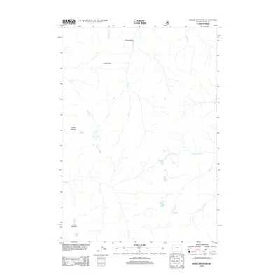
2012 Map of Needle Mountain
USGS Topo · Published 2012About this map
Needle Mountain and Crater Mountain dominate the southwestern reaches of this high-altitude landscape in Park County. The terrain is defined by a series of drainages and high points, notably Boulder Ridge which looks down upon the high alpine environment of Boulder Basin. The drainage pattern is complex, with Needle Cr flowing south while various branches of the Anderson Creek system, including the N Fork Anderson Cr and S Fork Anderson Cr, cut through the eastern slopes. This 2012 survey by the U.S. Geological Survey and U.S. Forest Service reflects the enduring isolation of this part of Wyoming, where named features are almost exclusively geographical and hydrological. From the headwaters of Sheepeater Cr in the north to the southern peaks, the map preserves the nomenclature of a wilderness largely untouched by development.
Find a feature on this map
13 named features on this map. Tap any name to fly to it.
Don’t see what you’re looking for? This feature index may not catch every label — zoom into the map to look around manually.
Map Details
Editions of this 2012 Needle Mountain Map
This is the sole edition of this map. No revisions or reprints were ever made.
Other maps of this area

1893 · Ishawooa
USGS Topo · 1:125,000

1895 · Ishawooa
USGS Topo · 1:125,000

1899 · Ishawooa
USGS Topo · 1:125,000

1904 · Kirwin
USGS Topo · 1:125,000

1905 · Younts Peak
USGS Topo · 1:125,000

1906 · Kirwin
USGS Topo · 1:125,000

1907 · Younts Peak
USGS Topo · 1:125,000

1955 · Cody
USGS Topo · 1:250,000

1955 · Thermopolis
USGS Topo · 1:250,000

1956 · Emerald Lake
USGS Topo · 1:24,000