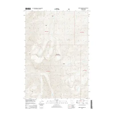
2015 Map of Needle Mountain
USGS Topo · Published 2015About this map
Shoshone National Forest encompasses this high-elevation landscape in Park County, where the jagged peaks of the Absaroka Range dominate the horizon. In this 2015 study, the topography is defined by the sharp rise of Needle Mtn and Crater Mtn, while Boulder Ridge separates drainage basins to the north. The area's hydrology is marked by the divide between Needle Cr and the branching systems of N Fork Anderson and S Fork Anderson creeks. This wilderness-heavy terrain shows little sign of permanent human infrastructure, emphasizing the preservation of the public forest lands. Instead, the map provides a precise record of the natural contours and drainage patterns, including smaller seasonal watercourses like Aspen Cr, Castle Cr, and Eleanor Cr that feed into the larger basins like Boulder Basin.
Find a feature on this map
18 named features on this map. Tap any name to fly to it.
Don’t see what you’re looking for? This feature index may not catch every label — zoom into the map to look around manually.
Map Details
Editions of this 2015 Needle Mountain Map
This is the sole edition of this map. No revisions or reprints were ever made.
Other maps of this area

1893 · Ishawooa
USGS Topo · 1:125,000

1895 · Ishawooa
USGS Topo · 1:125,000

1899 · Ishawooa
USGS Topo · 1:125,000

1904 · Kirwin
USGS Topo · 1:125,000

1905 · Younts Peak
USGS Topo · 1:125,000

1906 · Kirwin
USGS Topo · 1:125,000

1907 · Younts Peak
USGS Topo · 1:125,000

1955 · Cody
USGS Topo · 1:250,000

1955 · Thermopolis
USGS Topo · 1:250,000

1956 · Emerald Lake
USGS Topo · 1:24,000