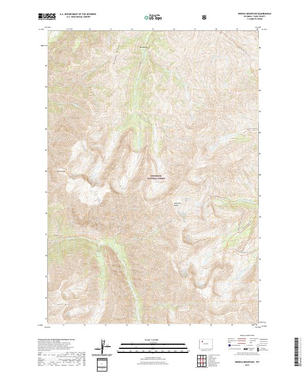
2021 Map of Needle Mountain
USGS Topo · Published 2021About this map
Shoshone National Forest lands dominate this high-elevation portion of the Absaroka Range in Park County. The map details a landscape defined by extreme vertical relief, stretching between prominent summits like Needle Mtn and Crater Mtn. This 2021 survey illustrates a well-developed network of backcountry trails that follow the natural drainage patterns of the high country. These routes, including the Needle Creek Trl and the Anderson Creek Trl, provide the primary access to remote basins and ridgelines. Significant drainage systems such as Sheepeater Cr, Boulder Cr, and the various forks of Anderson Creek carve through the terrain, with Boulder Basin tucked below the prominent Boulder Ridge. The map captures the specialized geography of the Wyoming wilderness, where land management boundaries like t48n r106w overlay a primitive environment of creeks and peaks.
Find a feature on this map
26 named features on this map. Tap any name to fly to it.
Don’t see what you’re looking for? This feature index may not catch every label — zoom into the map to look around manually.
Map Details
Editions of this 2021 Needle Mountain Map
This is the sole edition of this map. No revisions or reprints were ever made.
Other maps of this area

1893 · Ishawooa
USGS Topo · 1:125,000

1895 · Ishawooa
USGS Topo · 1:125,000

1899 · Ishawooa
USGS Topo · 1:125,000

1904 · Kirwin
USGS Topo · 1:125,000

1905 · Younts Peak
USGS Topo · 1:125,000

1906 · Kirwin
USGS Topo · 1:125,000

1907 · Younts Peak
USGS Topo · 1:125,000

1955 · Cody
USGS Topo · 1:250,000

1955 · Thermopolis
USGS Topo · 1:250,000

1956 · Emerald Lake
USGS Topo · 1:24,000