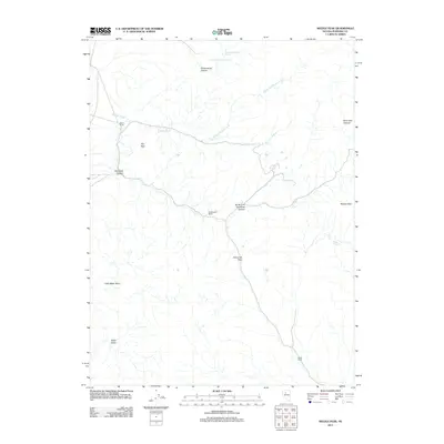
2011 Map of Needle Peak
USGS Topo · Published 2011About this map
Meyer Ranch and Etchegoyen Ranch anchor the high desert landscape of central Pershing County, where early 21st-century topography reveals a network of canyons and vital water sources. The terrain is defined by dramatic elevation shifts, from the prominent Needle Peak in the east to the deep basins of Miller Basin and Little Miller Basin in the southwest. Transport through this arid corridor relies on the natural break of Golconda Pass, which connects the drainage of Golconda Canyon with the surrounding high country. Local hydrology is marked by ephemeral flows like Bushee Creek and its north fork, while reliable water is noted at Upper Cottonwood Spring and Lower Cottonwood Spring. For researchers, the map provides a clear record of land use and ranching outposts, including the southern Allard Ranch, situated among the complex system of peaks and draws.
Find a feature on this map
17 named features on this map. Tap any name to fly to it.
Don’t see what you’re looking for? This feature index may not catch every label — zoom into the map to look around manually.
Map Details
Editions of this 2011 Needle Peak Map
This is the sole edition of this map. No revisions or reprints were ever made.
Other maps of this area

1932 · Sonoma Range
USGS Topo · 1:250,000

1939 · Sonoma Range
USGS Topo · 1:250,000

1955 · Winnemucca
USGS Topo · 1:250,000

1958 · Winnemucca
USGS Topo · 1:250,000

1961 · Mt. Tobin
USGS Topo · 1:62,500

1961 · Cain Mountain
USGS Topo · 1:62,500

1961 · Mt. Moses
USGS Topo · 1:62,500

1962 · Winnemucca
USGS Topo · 1:250,000

1962 · Buffalo Springs
USGS Topo · 1:62,500

1982 · Fish Creek Mts
USGS Topo · 1:100,000