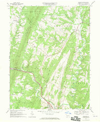
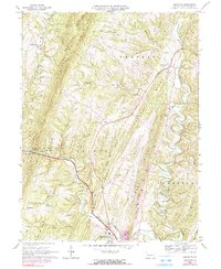
1967 Map of Needmore
USGS Topo · Published 1970About this map
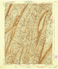
Sideling Hill and Tonoloway Ridge dominate this section of the Ridge-and-Valley Appalachians, creating a landscape defined by long, parallel elevations and deeply cut creek beds. The drainage network is complex, with Tonoloway Creek and its tributary Little Tonoloway Creek carving paths through the ridges, supported by smaller runs like Barnetts Run and White Oak Run. Settlement is concentrated in the gaps and valleys, anchored by small communities such as Needmore, Warfordsburg, and Dott.
Find a feature on this map
42 named features on this map. Tap any name to fly to it.
Don’t see what you’re looking for? This feature index may not catch every label — zoom into the map to look around manually.
Map Details
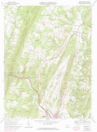
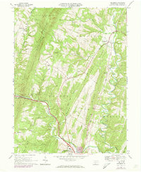
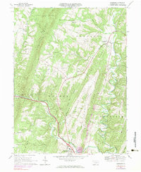
Editions of this 1967 Needmore Map
5 editions found
Other maps of this area
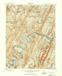
1898 · Paw Paw
USGS Topo · 1:62,500

1899 · Hancock
USGS Topo · 1:62,500
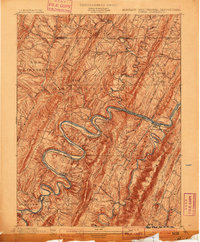
1900 · Pawpaw
USGS Topo · 1:62,500

1901 · Hancock
USGS Topo · 1:62,500
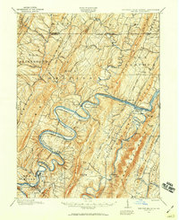
1910 · Paw Paw
USGS Topo · 1:62,500
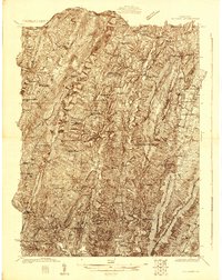
1925 · Needmore
USGS Topo · 1:48,000
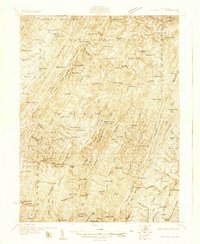
1927 · Clearville
USGS Topo · 1:48,000
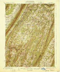
1931 · Clearville
USGS Topo · 1:62,500
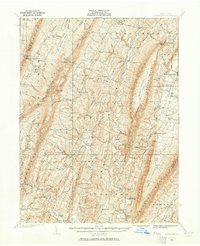
1935 · Needmore
USGS Topo · 1:62,500
1939 · Needmore
USGS Topo · 1:62,500
Featured Places
- Bethel Township, PA
- Union Township, PA
- Brush Creek Township, PA
- Belfast Township, PA
- Thompson Township, PA