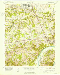
1965 Map of Needmore
USGS Topo · Published 1966About this map
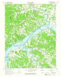
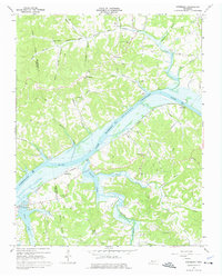
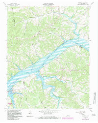
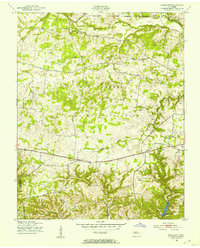
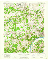
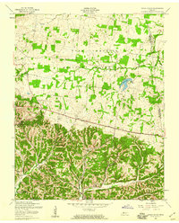
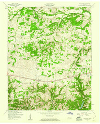
Lake Barkley dominates the central landscape of this mid-1960s survey, illustrating the managed waters of the Cumberland River at a normal pool elevation of 359 feet. The map details a period of transition for Montgomery and Stewart counties, where the newly formed reservoir reshaped the river valley's traditional geography. Small rural settlements like Needmore, Stringtown, and Sailors Rest are connected by winding roads and the prominent line of the Louisville and Nashville Railroad which skirts the river's southern bank.
Find a feature on this map
46 named features on this map. Tap any name to fly to it.
Don’t see what you’re looking for? This feature index may not catch every label — zoom into the map to look around manually.
Map Details
Editions of this 1965 Needmore Map
3 editions found
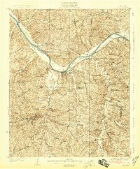
Other maps of this area
1931 · Erin
USGS Topo · 1:62,500
1936 · Tantrough Hollow
USGS Topo · 1:24,000
1944 · Clarksville
USGS Topo · 1:50,000
1951 · New Providence
USGS Topo · 1:24,000
1951 · Indian Mound
USGS Topo · 1:24,000
1951 · Woodlawn
USGS Topo · 1:24,000

1956 · Nashville
USGS Topo · 1:250,000
1957 · New Providence
USGS Topo · 1:24,000
1957 · Indian Mound
USGS Topo · 1:24,000
1957 · Woodlawn
USGS Topo · 1:24,000