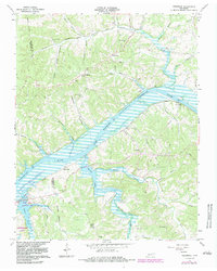
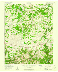
1965 Map of Needmore
USGS Topo · Published 1983About this map
Lake Barkley dominates the central geography of this mid-1960s survey, representing the altered landscape of the Cumberland River valley following the creation of the reservoir. Small riverfront communities and landing sites like Corbandale and York Landing reflect the enduring importance of the waterway, while the Seaboard rail line traces the northern bank. The terrain is deeply incised by numerous hollows named for local families and natural features, such as Thomaston Hollow, Eldridge Hollow, and Poplar Spring Hollow.
Find a feature on this map
47 named features on this map. Tap any name to fly to it.
Don’t see what you’re looking for? This feature index may not catch every label — zoom into the map to look around manually.
Map Details
Editions of this 1965 Needmore Map
3 editions found
Other maps of this area

1931 · Erin
USGS Topo · 1:62,500

1936 · Tantrough Hollow
USGS Topo · 1:24,000

1944 · Clarksville
USGS Topo · 1:50,000

1951 · New Providence
USGS Topo · 1:24,000

1951 · Indian Mound
USGS Topo · 1:24,000

1951 · Woodlawn
USGS Topo · 1:24,000

1956 · Nashville
USGS Topo · 1:250,000

1957 · New Providence
USGS Topo · 1:24,000
1957 · Indian Mound
USGS Topo · 1:24,000
1957 · Woodlawn
USGS Topo · 1:24,000