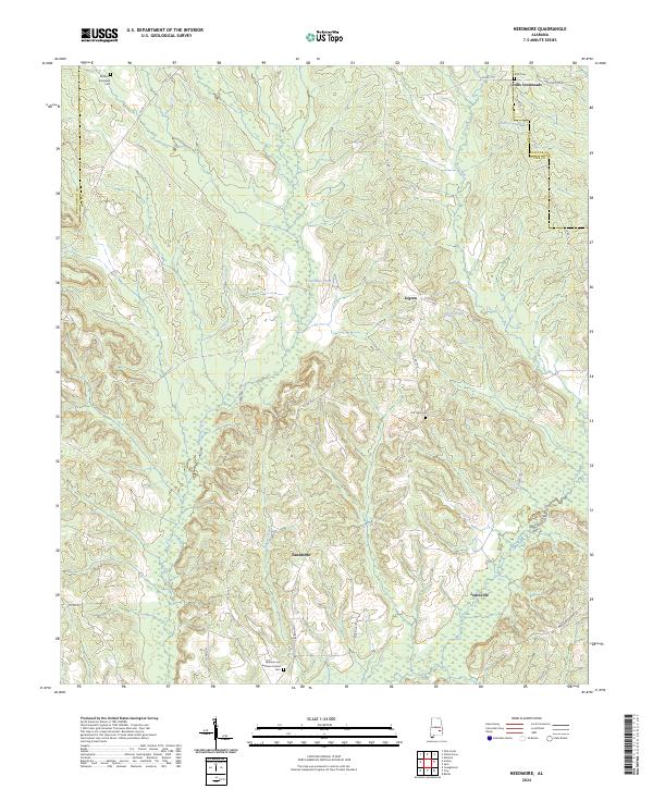
2024 Map of Needmore
USGS Topo · Published 2024About this map
Needmore and its surrounding communities sit along the undulating county lines of Pike, Montgomery, and Bullock. This contemporary survey details a landscape defined by small-scale agriculture and timber, where local connectivity relies on a network of routes such as Needmore Rd and Gardner Bassett Rd. Settlement centers like Stills Crossroads and Logton are interconnected by numerous creeks, including Munnings Creek and Log Creek, which feed into several small impoundments like Shirley Pond and Costons Pond.
Find a feature on this map
45 named features on this map. Tap any name to fly to it.
Don’t see what you’re looking for? This feature index may not catch every label — zoom into the map to look around manually.
Map Details
Editions of this 2024 Needmore Map
This is the sole edition of this map. No revisions or reprints were ever made.
Other maps of this area

1953 · Montgomery
USGS Topo · 1:250,000

1953 · Andalusia
USGS Topo · 1:250,000

1953 · Dothan
USGS Topo · 1:250,000

1954 · Dothan
USGS Topo · 1:250,000

1955 · Dothan
USGS Topo · 1:250,000

1955 · Phenix City
USGS Topo · 1:250,000

1956 · Montgomery
USGS Topo · 1:250,000

1957 · Phenix City
USGS Topo · 1:250,000

1957 · Montgomery
USGS Topo · 1:250,000

1957 · Andalusia
USGS Topo · 1:250,000