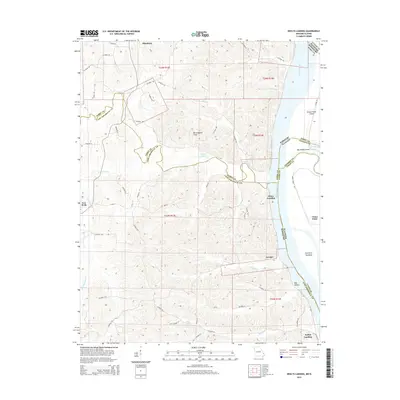
2015 Map of Neelys Landing
USGS Topo · Published 2015About this map
The Mississippi River defines the border between Missouri and Illinois on this 2015 study, illustrating a shoreline shaped by river islands and towheads. Riverside settlements like Neelys Landing, Hines Landing, and Lovejoy anchor the Missouri bank, while the Illinois side features Grand Tower Island and Big Muddy Island. The terrain transitions from the low-lying Union Point and river chutes to the upland areas of Birmingham Hills. Inland, a network of county roads connects rural communities like Altenburg and New Wells, weaving through a landscape drained by Neelys Cr and Shawnee Cr. The map's detailed hydrology includes Tower Island Chute and Gerler Lake, reflecting the complex relationship between the local communities and the river's shifting path.
Find a feature on this map
59 named features on this map. Tap any name to fly to it.
Don’t see what you’re looking for? This feature index may not catch every label — zoom into the map to look around manually.
Map Details
Editions of this 2015 Neelys Landing Map
This is the sole edition of this map. No revisions or reprints were ever made.
Other maps of this area

1918 · Altenburg
USGS Topo · 1:62,500

1920 · Jonesboro
USGS Topo · 1:62,500

1922 · Cape Girardeau
USGS Topo · 1:62,500

1923 · Jonesboro
USGS Topo · 1:62,500

1924 · Cape Girardeau
USGS Topo · 1:62,500

1924 · Alto Pass
USGS Topo · 1:62,500

1925 · Altenburg
USGS Topo · 1:62,500

1947 · Jonesboro
USGS Topo · 1:62,500

1947 · Alto Pass
USGS Topo · 1:62,500

1947 · Crosstown
USGS Topo · 1:24,000