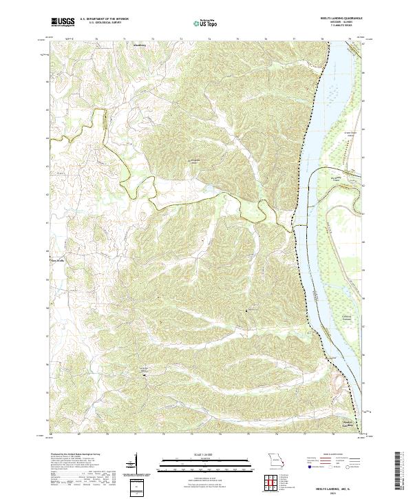
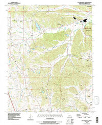
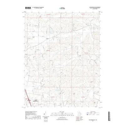
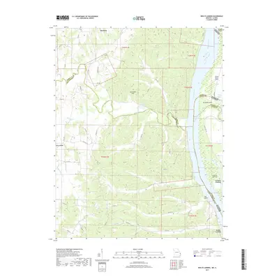
2021 Map of Neelys Landing
USGS Topo · Published 2021About this map
The Mississippi River forms a major geographic divide along the eastern edge of this Missouri-Illinois borderland, where several islands and towheads like Crawford Towhead and Big Muddy Island shift within the channel. Inland, the landscape is defined by the winding course of Apple Creek and numerous hollows, including Dog Hollow, as the terrain rises toward the river bluffs. This 2021 update shows the enduring rural character of settlements such as Altenburg and New Wells, which have long served the farming communities of both Perry and Cape Girardeau counties.
Find a feature on this map
58 named features on this map. Tap any name to fly to it.
Don’t see what you’re looking for? This feature index may not catch every label — zoom into the map to look around manually.
Map Details
Editions of this 2021 Neelys Landing Map
This is the sole edition of this map. No revisions or reprints were ever made.
Historical Maps of Grand Tower Through Time
17 maps found
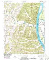
1948 Neelys Landing
Cape Girardeau County, MO
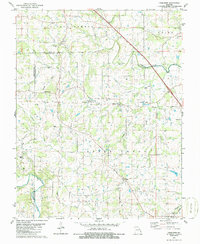
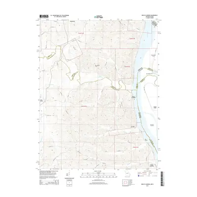
1967 Cape Girardeau NE
Cape Girardeau County, MO
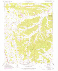
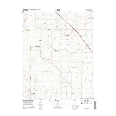
1980 Friedheim
Cape Girardeau County, MO
1993 Cape Girardeau NE
Cape Girardeau County, MO

1993 Neelys Landing
Cape Girardeau County, MO
2012 Cape Girardeau NE
Cape Girardeau County, MO
2012 Friedheim
Cape Girardeau County, MO
2012 Neelys Landing
Cape Girardeau County, MO
2015 Cape Girardeau NE
Cape Girardeau County, MO
2015 Friedheim
Cape Girardeau County, MO
2015 Neelys Landing
Cape Girardeau County, MO
2017 Cape Girardeau NE
Cape Girardeau County, MO
2017 Friedheim
Cape Girardeau County, MO
2017 Neelys Landing
Cape Girardeau County, MO
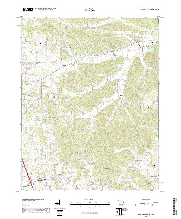
2021 Cape Girardeau NE
Cape Girardeau County, MO
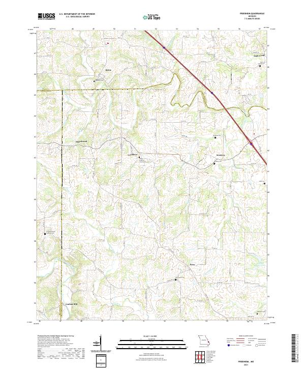
2021 Friedheim
Cape Girardeau County, MO
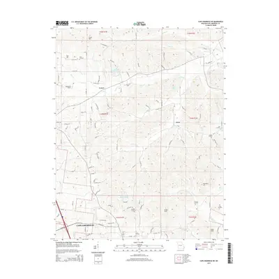
2021 Neelys Landing
Cape Girardeau County, MO