
1943 Map of Neenach
USGS Topo · Published 1943About this map
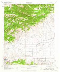
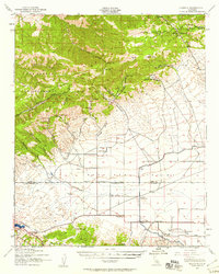
The Kern County Los Angeles County boundary line divides this 1943 survey, marking the transition from the high peaks of Cummings Mountain down into the expansive Antelope Valley. The map records a landscape of rugged canyons and isolated ranching outposts, with several springs and seasonal creeks like Cottonwood Creek supporting localized settlement. The southern portion of the sheet is dominated by the strategic infrastructure of the Los Angeles Aqueduct, including the Antelope Aqueduct Station. The influence of early 20th-century transportation is visible along the Old Ridge Route, which skirts Quail Lake and provided a vital link between the Central Valley and the Los Angeles Basin. Local industry is anchored by the Rivera Mining Co and a remote Tin Mine, while community life centers on the Neenach School and family-named holdings such as Pecks Ranch and Snyder Ranch.
Find a feature on this map
45 named features on this map. Tap any name to fly to it.
Don’t see what you’re looking for? This feature index may not catch every label — zoom into the map to look around manually.
Map Details
Editions of this 1943 Neenach Map
3 editions found
Other maps of this area

1903 · Tejon
USGS Topo · 1:125,000

1914 · Caliente
USGS Topo · 1:125,000

1915 · Elizabeth Lake
USGS Topo · 1:125,000

1915 · Mojave
USGS Topo · 1:125,000

1917 · Elizabeth Lake
USGS Topo · 1:125,000

1931 · Tejon Hills
USGS Topo · 1:31,680

1932 · Fairmont
USGS Topo · 1:24,000

1932 · Neenach
USGS Topo · 1:24,000

1933 · Manzana
USGS Topo · 1:24,000

1933 · Quail
USGS Topo · 1:24,000