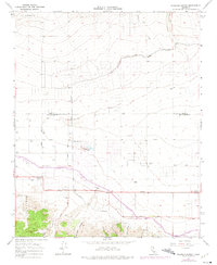
1965 Map of Neenach School
USGS Topo · Published 1975About this map
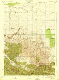
Neenach School and the surrounding ranching landscape define this portion of the Antelope Valley during the mid-1960s. The map illustrates the sophisticated water infrastructure essential to the region, featuring both the Los Angeles Aqueduct and the California Aqueduct as they traverse the foothills of La Liebre. These massive engineering works share the landscape with small-scale ranching operations such as Gorrindo Ranch and Snyder Ranch.
Find a feature on this map
37 named features on this map. Tap any name to fly to it.
Don’t see what you’re looking for? This feature index may not catch every label — zoom into the map to look around manually.
Map Details
Editions of this 1965 Neenach School Map
3 editions found
Other maps of this area

1903 · Tejon
USGS Topo · 1:125,000

1915 · Elizabeth Lake
USGS Topo · 1:125,000

1917 · Elizabeth Lake
USGS Topo · 1:125,000

1932 · Fairmont
USGS Topo · 1:24,000

1932 · Neenach
USGS Topo · 1:24,000

1933 · Manzana
USGS Topo · 1:24,000
1937 · Fairmont
USGS Topo · 1:24,000
1938 · Manzana
USGS Topo · 1:24,000

1938 · Liebre
USGS Topo · 1:24,000

1943 · Neenach
USGS Topo · 1:62,500