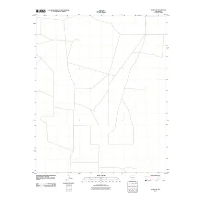
2010 Map of Negra SW
USGS Topo · Published 2010About this map
High plains terrain and sparse agricultural markings characterize this portion of Torrance County in the early twenty-first century. The landscape is defined by a geometric grid of property lines and intermittent drainage patterns that speak to the semi-arid environment of central New Mexico. The primary human imprint on this quadrangle is the network of local transport routes, most notably the northern stretch of County Rd C057, which provides the only major navigational reference point for the region. This 2010 digital survey captures the area before modern developments might further alter the traditional ranching or open-space land use patterns common to this part of the state.
Find a feature on this map
1 named feature on this map. Tap any name to fly to it.
Don’t see what you’re looking for? This feature index may not catch every label — zoom into the map to look around manually.
Map Details
Editions of this 2010 Negra SW Map
This is the sole edition of this map. No revisions or reprints were ever made.
Other maps of this area

1954 · Fort Sumner
USGS Topo · 1:250,000

1958 · Fort Sumner
USGS Topo · 1:250,000

1978 · Negra SW
USGS Topo · 1:24,000

1978 · Pedernal
USGS Topo · 1:24,000

1978 · Negra SE
USGS Topo · 1:24,000

1978 · Negra
USGS Topo · 1:24,000

1978 · Lucy
USGS Topo · 1:24,000

1978 · Rattlesnake Hill
USGS Topo · 1:24,000

1980 · Corona
USGS Topo · 1:100,000

1981 · Progresso NE
USGS Topo · 1:24,000