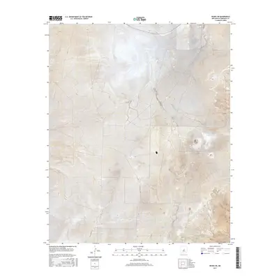
2017 Map of Negra SW
USGS Topo · Published 2017About this map
Torrance County high desert terrain defines this 2017 study of the New Mexico landscape south of Negra. The map reveals the precise Public Land Survey System grid that organizes this ranching country, including the intersection of t4n r12e and t5n r12e. Transportation in this portion of the Estancia Valley depends on a network of unpaved routes such as Co Rd C038 and Co Rd C057, which navigate the subtle changes in elevation across the plains. These roads and township lines reflect the enduring administrative structure of the American West, where property and passage are defined by strict geometric boundaries. The contour lines indicate a landscape of broad plateaus and dry drainages, characteristic of the region's semi-arid environment during the early twenty-first century.
Find a feature on this map
8 named features on this map. Tap any name to fly to it.
Don’t see what you’re looking for? This feature index may not catch every label — zoom into the map to look around manually.
Map Details
Editions of this 2017 Negra SW Map
This is the sole edition of this map. No revisions or reprints were ever made.
Other maps of this area

1954 · Fort Sumner
USGS Topo · 1:250,000

1958 · Fort Sumner
USGS Topo · 1:250,000

1978 · Negra SW
USGS Topo · 1:24,000

1978 · Pedernal
USGS Topo · 1:24,000

1978 · Negra SE
USGS Topo · 1:24,000

1978 · Negra
USGS Topo · 1:24,000

1978 · Lucy
USGS Topo · 1:24,000

1978 · Rattlesnake Hill
USGS Topo · 1:24,000

1980 · Corona
USGS Topo · 1:100,000

1981 · Progresso NE
USGS Topo · 1:24,000