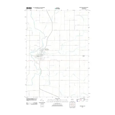
2010 Map of Neillsville
USGS Topo · Published 2010About this map
Neillsville sits as the central hub of this Wisconsin landscape, where the Black River winds through the western portion of the quadrangle. The town's layout is clearly defined, featuring key civic landmarks like the Neillsville Post Office and local burial grounds including Saint Marys Cemetery and the Neillsville City Cemetery. This map captures a significant agricultural and rural network, where a dense grid of named roads such as Biereck Rd, Schofield Rd, and Fremont Rd connect outlying farmsteads and fields.
Find a feature on this map
43 named features on this map. Tap any name to fly to it.
Don’t see what you’re looking for? This feature index may not catch every label — zoom into the map to look around manually.
Map Details
Editions of this 2010 Neillsville Map
This is the sole edition of this map. No revisions or reprints were ever made.
Other maps of this area

1953 · Neillsville
USGS Topo · 1:62,500

1953 · Eau Claire
USGS Topo · 1:250,000

1954 · Granton
USGS Topo · 1:62,500

1957 · City Point
USGS Topo · 1:48,000

1958 · Eau Claire
USGS Topo · 1:250,000

1958 · Hatfield
USGS Topo · 1:48,000

1964 · Eau Claire
USGS Topo · 1:250,000
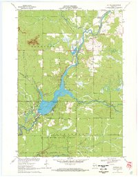
1970 · Hatfield
USGS Topo · 1:24,000
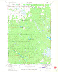
1970 · City Point NW
USGS Topo · 1:24,000
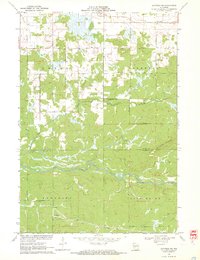
1970 · Hatfield NE
USGS Topo · 1:24,000