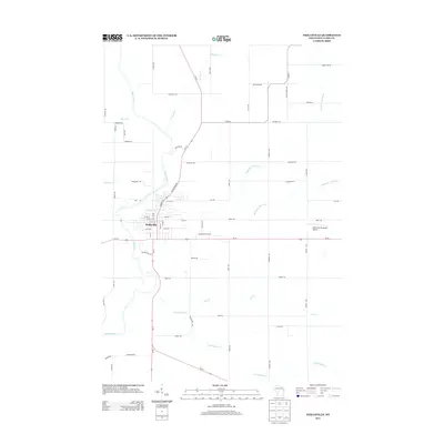
2013 Map of Neillsville
USGS Topo · Published 2013About this map
Neillsville serves as the hub of this Central Wisconsin landscape, where the Black River winds southward through Clark County. The settlement's street grid is clearly defined, with Hewett St and several numbered streets crossing near the banks of O'Neill Creek. The surrounding rural landscape is defined by a dense network of tributaries including Cunningham Cr and Jack Cr, reflecting the region's well-watered agricultural character.
Find a feature on this map
62 named features on this map. Tap any name to fly to it.
Don’t see what you’re looking for? This feature index may not catch every label — zoom into the map to look around manually.
Map Details
Editions of this 2013 Neillsville Map
This is the sole edition of this map. No revisions or reprints were ever made.
Other maps of this area

1953 · Neillsville
USGS Topo · 1:62,500

1953 · Eau Claire
USGS Topo · 1:250,000

1954 · Granton
USGS Topo · 1:62,500

1957 · City Point
USGS Topo · 1:48,000

1958 · Eau Claire
USGS Topo · 1:250,000

1958 · Hatfield
USGS Topo · 1:48,000

1964 · Eau Claire
USGS Topo · 1:250,000
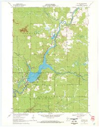
1970 · Hatfield
USGS Topo · 1:24,000
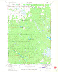
1970 · City Point NW
USGS Topo · 1:24,000
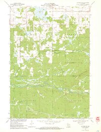
1970 · Hatfield NE
USGS Topo · 1:24,000