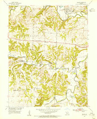
1953 Map of Nelson
USGS Topo · Published 1955About this map
Nelson serves as a small rail hub in the mid-1950s, situated along the Missouri Pacific railroad where it crosses the Blackwater River. The landscape is defined by the convergence of the Blackwater and the Lamine River, creating a complex network of wetlands and oxbow lakes such as Horseshoe Lake and Goose Lake. This survey captures the rural social infrastructure of central Missouri before the consolidation of mid-century schools and parishes. Local life is centered around community landmarks like Ridge Prairie, Heaths Creek Ch, and Millers Chapel. A distinct pattern of upland farming and bottomland drainage is visible, with several country schools like Postal Sch and Ridge Prairie Sch serving the surrounding agricultural families. For genealogists, the map preserves the exact location of the Raines Cemetery and traditional river transit points such as Shackleford Crossing on Clear Creek.
Find a feature on this map
33 named features on this map. Tap any name to fly to it.
Don’t see what you’re looking for? This feature index may not catch every label — zoom into the map to look around manually.
Map Details
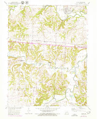
Editions of this 1953 Nelson Map
2 editions found
Other maps of this area

1887 · Sedalia
USGS Topo · 1:125,000

1888 · Boonville
USGS Topo · 1:125,000

1890 · Glasgow
USGS Topo · 1:125,000

1890 · Marshall
USGS Topo · 1:125,000

1892 · Marshall
USGS Topo · 1:125,000

1894 · Sedalia
USGS Topo · 1:125,000

1901 · Marshall
USGS Topo · 1:125,000

1940 · Marshall
USGS Topo · 1:62,500

1944 · Marshall
USGS Topo · 1:62,500

1947 · Glasgow
USGS Topo · 1:62,500